It’s the perfect recipe for a Thanksgiving travel nightmare. Not one, not two, but three powerful storm systems will make travel difficult to near impossible at times both before and after Thursday’s holiday.
A record-breaking “bomb cyclone” crashed ashore in the Pacific Northwest on Tuesday night, bringing winds gusting over 100 mph and feet of snow in some areas. That storm system will continue to dump snow in the Sierra Nevada while bringing heavy rain, coastal flooding and even isolated thunderstorms to Southern California. It will also spread rain and snow into Utah, Nevada and Colorado.
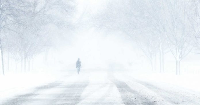
Meanwhile, a “kitchen sink” storm barreling through the Plains and Upper Midwest has already manifested itself in offering the worst of every season. Tornadoes touched down in Louisiana, while thundersnow and thundersleet rattled Nebraska. It came on the heels of Denver’s snowiest day in three years.
The snow is targeting the Great Lakes, as strong winds spread over much of the Mississippi and Ohio valleys. The winds, gusting up to 60 mph at times, threaten to snarl air travel into and out of Chicago’s major hubs at O’Hare and Midway airports.
The same upper-level disturbance that helped spin up the West Coast bomb cyclone will generate a third potent storm to the east. It will probably impact the eastern half of the Lower 48 this weekend.
Around the nation Wednesday:
– Minneapolis joined St. Paul and other Minnesota cities in declaring a snow emergency after more than 8 inches of snow fell overnight and into the morning. The move comes after significant snowfall and restricts parking to allow snow emergency routes to be plowed. At least 15 other Minneapolis-area cities had declared snow emergencies as of Wednesday afternoon, according to local television station KSTP.
– A 100-mile stretch of Interstate 5 in northern California remained closed in the northbound direction due to heavy snowfall and the high number of vehicles that had spun out along the roadway. The southbound portion reopened earlier Wednesday, but transportation officials warned of heavy traffic and long delays.
– Strong winds are ongoing across the Midwest, making for tricky travel through several major air hubs. Winds were southwesterly in Chicago, gusting to 53 mph by 10 a.m. local time, according to data from the National Weather Service. In Indianapolis, winds were sustained at 44 mph, with gusts to 56 mph. Springfield, Illinois, was gusting to nearly 50 mph, while Detroit has peaked above 40 mph. Winds will probably become even a touch stronger this afternoon for Chicago and Indianapolis, picking up some in Detroit as well.
– The Federal Aviation Administration is reporting delays at a handful of airports across the United States due to weather conditions. After heavy snowfall Tuesday and early Wednesday, Minneapolis-St. Paul International Airport is experiencing some of the longest delays, with arriving flights held up an average of one hour and 19 minutes. Newark Liberty International Airport is seeing incoming flight delays of 50 minutes due to windy conditions. Meanwhile, low clouds and fog are causing flights heading to San Francisco International Airport to experience delays averaging 50 minutes.
– More than 200,000 customers are without power amid powerful storm systems in California and the Midwest, and this number could go up as winds increase in the Midwest. The Golden State is experiencing a “major outage event,” with 76,422 outages reported, according to the tracking website PowerOutage.us. Indiana has the second-most number of outages, at 47,615, followed by Michigan at 32,801, Wisconsin at 27,009 and Kentucky at 17,003.
By Friday, another storm will begin to develop over the Rockies, bringing snow to places like Salt Lake City – a major airport hub.
It will then transfer its energy to a more powerful surface low organizing over the Plains. Along its cold front, strong storms are possible to the south Friday night. That could bring airport headaches in Dallas and Oklahoma City. Heavy rain is possible farther north in Kansas City.
Heavy snow totals are likely on the cold side of the system, but pinpointing exactly where that will be is proving to be difficult. The American GFS model keeps temperatures above freezing over Nebraska, the Dakotas and the Corn Belt. The European model, however, is several degrees colder – favoring plowable snow totals approaching the double digits over much of the Northern Plains on Saturday. The storm will shift toward the Twin Cities on Sunday, potentially bringing rain and wind to the Great Lakes and affecting air travel out of Chicago.
There are early indications the storm could dissipate some over the Ohio Valley as it hands off its energy to a potential nor’easter off the Atlantic coast. That could make for a classic mixed bag of wintry precipitation for much of New England, with inland/mountain snow, rain, and strong winds near the coast.
Sunday and Monday look like potentially rough travel days in the Northeast Corridor, including cities like Boston and Providence, with even some potential impact to the New York City hubs as well.
(c) 2019, The Washington Post · Andrew Freedman, Matthew Cappucci, Brittany Shammas
{Matzav.com}


